With the expertise and resources of Mason’s Roy Rosenzweig Center for History and New Media (RRCHNM) and Executive Director Mills Kelly to support her, Postdoctoral Research Fellow Jessica Mack considered this possibility: Could digital media and mapping tools be utilized to illustrate the growth of Virginia university campuses, analyzing histories using university archives, digital mapping, and aerial photographs?
This approach, Mack thought, is particularly important as universities across the U.S. reckon with their institutional backstories—including difficult histories of slavery, exclusion, segregation, and bias in higher education. Mack believed it would be revealing to examine how these records left traces on the physical structures of the campus. The project, she determined, would necessitate blending a group of scholars including university archivists, historians, digital specialists, as well as graduate and undergraduate student researchers.
Mack received an enthusiastic response when she contacted other 4-VA
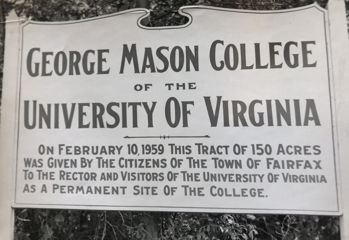
schools to get their input on the proposal. However, one institution stood out as the perfect partner – Old Dominion University. ODU was a good fit for two reasons: Like Mason, which broke from UVA 50 years ago to stand on its own, ODU moved out from under the wings of William and Mary. What’s more, when Mack connected with ODU’s University Archivist Steven Bookman, she found the perfect co-PI with the ideal skillset for the project.
After receiving the 4-VA@Mason approval for her proposal, Mack set out on a year-long discovery trail, with she and her team connecting at various points on Mason’s Fairfax campus and throughout the state.
Mack and graduate research assistant and PhD candidate Laura Brannan Fretwell began archival research trips in Fall 2021 — to Old Dominion University, the University of Virginia, the Fairfax County Courthouse Historic Archives, and the Virginia Room at the Fairfax Public Library, as well as several visits to Mason’s own Special Collections and Research Center at Fenwick Library. “During these visits, we took digital photographs of large quantities of archival material about the founding and early construction of Mason and ODU,” Mack explains. “Vanessa Baez and Professor Matthew Rice of Mason’s Geography and Geoinformation Science Department assessed the aerial imagery that is available of Fairfax and Norfolk around the time these campuses were built, and we created a digital repository of documents, images, and maps.”
“The partnership with ODU has been generative and interesting,” says Mack. “We were able to meet with our 4-VA partner, Steve Bookman, in person last fall at ODU and learn quite a bit about ODU’s history.” Mack’s team held an ongoing series of Zoom meetings with Bookman throughout the year. “As a digital humanities enthusiast, I enjoyed bringing the history of ODU online as well as introducing archival research to my history student,” says Bookman.
The project team also included Greta Swain, another RRCHNM GRA and history PhD student, who created campus maps using a geographic information system during the fall semester.
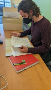
During this time, Mack hired two undergraduate student researchers, Catalina Mayer and Joseph Moore, who worked on the project during both the fall and spring semesters. The project team spent the fall semester gathering archival material and processing and carefully labeling each item using Tropy (tropy.org), a research photo management software developed at RRCHNM. Mack explains, “This was a great opportunity for the students to gain firsthand experience with archival research as well as valuable experience with software, database management, and metadata.” Mayer and Moore made several trips to Special Collections Research Center at Mason’s Fenwick Library to listen to oral history interviews of key Mason administrators and community members to identify audio clips to be used on the site.
The team spent the spring semester analyzing documents, selecting sources, and drafting narrative essays for the site. With the information collected and documentation researched, the team launched into the second phase of the project,https://mappingtheuniversity.rrchnm.org/ which opens their research to the public via a lively and interactive website.
Jason Heppler, senior web developer at RRCHNM, built the website and designed an interface that presents narrative essays alongside dynamic, interactive campus maps. The maps are essential elements on the site as they provide visualizations of the campuses of George Mason University and Old Dominion University developed over time.
“Thanks to a 4-VA Collaborative Research Grant, we have learned more about the parallel histories of these two Virginia institutions and been able to teach students about archival research, digital methods, and writing for broader publics in the process,” says Mack. “Throughout this collaborative project, everyone involved learned new digital and archival skills, and I see that as the greatest success of the project.”